Deciding - 109
T
oday, Africa must face the challenges
of sustainable development and
adaptationtoclimatechange.Itisalsoa
developing continent but suffers frommajor
handicaps such as weak infrastructure and
higher education and inadequate resources
devoted to training and research. These
problems of resources are accompanied by
and possibly cause a brain drain. Although
this is a global phenomenon, in Africa it
is a serious problem for the development
of the continent.
Our environment is subjected to
natural and man-made disturbances
operating on very varied temporal and
spatial scales. They can cause serious
imbalances and trigger catastrophic
and sometimes dramatic situations,
especially in zones with high population
density, with serious consequences for
the various socioeconomic sectors.
The Indian Ocean zone is particularly
exposed to natural risks that threaten
populations and the environment in a
recurrent and random manner. In the
present context of climate change, these
risks may evolve, multiply and/or intensify
and even become a daily reality. They
must be taken into account urgently and
in a coordinated manner. In addition, the
increasing populations of developing
countries and accompanying explosive
urban growth contribute to aggravating the
vulnerability of our environment.
Initiation of capacity building policies
Remote sensing is a particularly
appropriate tool for facing the urgent
challenge of adaptation and the everyday
management and monitoring of risks
and catastrophes at various local and
regional scales. It is also an essential tool
for the monitoring and assessment of
environmental changes and for prevention.
With theever-increasingprecisionof digital
images, an increasing number of satellites
devoted to observing the Earth and the
environment, spatial remote sensing
images are turning into everyday items.
They are becoming the most effective,
simple and cheapest method of obtaining
information about the surface of the world.
Applications for images and spatial data
are thus developing strongly.
The French CNES, an active player in
spatial remote sensing, sets up and
participates in projects using imaging and
observation. It is also involved in the Indian
Ocean region via concrete research and
training actions and has special relations
with scientists. In Madagascar, it supports
the Comité National Télédétection (CNT)
and participates in training workshops
and teaching for an international master’s
in ‘Remote Sensing and Natural Risks’.
One of the main preoccupations of this
programme is the initiation of capacity
building policies in Africa to achieve
a critical mass of experts capable of
conducting processing and analysis locally.
Research programmes
The CNES also carries out actions in
Reunion Island. Another example of
cooperation is theKalideos/BDIslesproject
aimed at providing regional researchers
and stakeholders with a database of
pre-processed satellite image data. The
regional community has since adopted
this concept and decided to set up a multi-
satellite receiving station. Universities and
research centres are also following and
must take up their part of the challenge by
setting up training as well as operations
and research programmes.
In the Indian Ocean zone, a large project for
setting up an installation for the reception
and processing of satellite images is being
carried out in Reunion Island, the SEAS-
OI facility (
Surveillance de l’Environnement
Assistée par Satellite dans l’Océan Indien
).
This technological platform is a regional
cooperation tool in the south-west Indian
Capacity building and cooperation
i
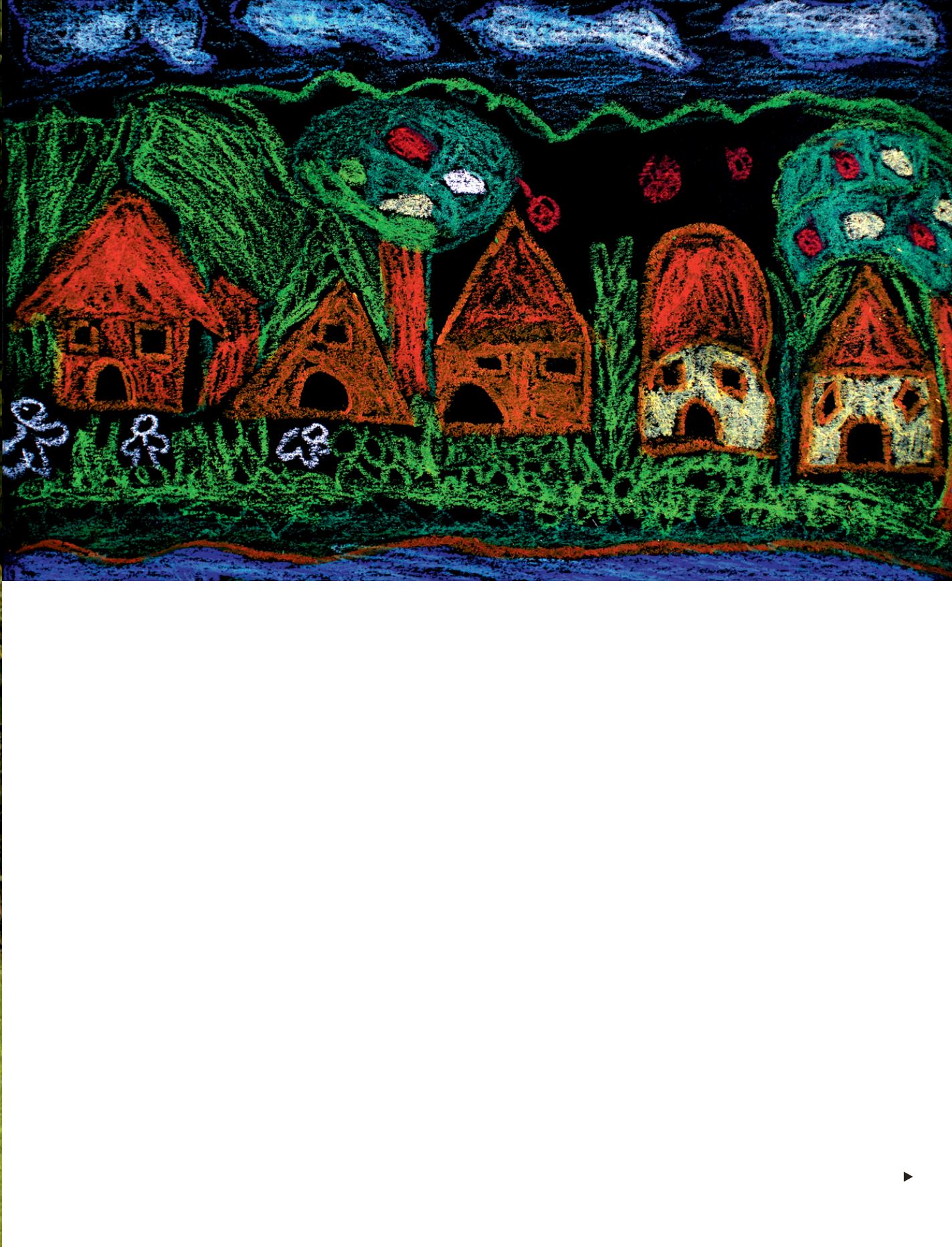
Art training is part of education. This village painting was presented during the ‘Draw the city’ project by primary school pupils of the Doctor Albert Schweitzer
foundation.
© Sébastien Cailleux/EDAAV


