114 - Sustainable Development in Africa & Satellites
i
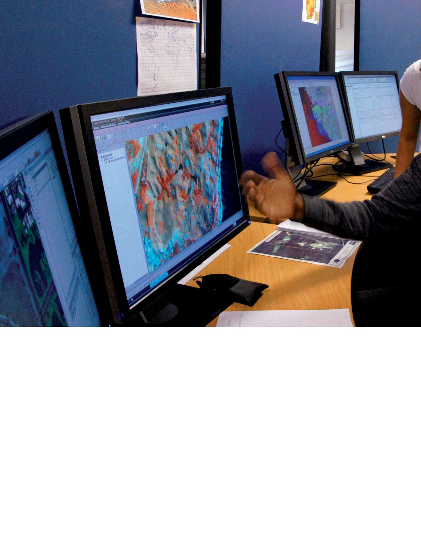
SANSA Satellite Applications Center at Hartebeesthoek (South Africa, Garten Prov.). Oxe Lategan, GIS specialist, Oupa Malahlela, and Hugo De Lemos, remote
sensing specialists, working on satellite data and imagery. South Africa launched its first satellite, SUNSAT In 1999, and the second, SumbandilaSat, in 2009.
© J.D. Dallet/Suds-Concepts
T
he Earth’s atmosphere, oceans and
landscapesarechangingrapidly,with
human activities as a major driver.
Monitoring and modeling these changes
is critical for enabling governments
and civil society to take informed
decisions about water, energy, food
security and other global challenges.
Decisionmakersandmanagersmusthave
access to the environmental information
they need, when they need it, and in a
format they can use.
The Group on Earth Observations (GEO),
established in 2005 with a set of targets
for completion in 2015, provides a global
framework for countries and international
organizations to work together to link
Earth observation systems, to ensure
worldwide access to the resulting data
and information, to promote their use for
decision-making, and to build capacity,
where needed.
Over 150 governments and leading
international organizations are now
collaborating through GEO to establish
a Global Earth Observation System of
Systems (GEOSS). They are contributing
datafromtheirrespectiveEarthmonitoring
systems to GEOSS and interlinking
them so that synergies can be exploited
and gaps closed. GEO contributors are
developing common technical standards
to make it possible to pool information,
and they are promoting the free sharing
and dissemination of Earth observation
data and information.
Building GEOS
Building GEOSS is a user-driven
process: capable to meet information
requirements of a wide range of users at
different geographical scales: national,
regional and global. This approach
involves two major components:
-
Building
national
coordination
mechanisms, “national GEOs”, to ensure
coordination of activities and decisions on
matters dealing with generation, access,
processing and use of geospatial data
and information, and to build a national
“gateway” to and from GEOSS.
- Fostering a regionally-based approach
in implementing GEOSS by establishing
“regional nodes” to address common
societal challenges having a regional
nature (vulnerability to certain disaster
types, regional drought conditions,
regional climate, etc.), to link observation
networks, to coordinate and catalyze
activities and resources and, most
GEO Vision and Objectives


