T
he outcome of the Rio+20
Conference, building on action from
the Millennium Development Goals,
reaffirmed Sustainable Development as
the primary objective of the Global Agenda
post-2015. Sustainable development must
be pursued through an integrated approach
addressing each of its three components –
Economic, Social and Environmental. The
Conference confirmed the importance of
Earth observation data and information
for policymaking, and recognized the
relevance and ongoing efforts in developing
global environmental observing systems,
and the need to support developing
countries in their efforts to collect and use
environmental data was also reinforced.
The intergovernmental Group on Earth
Observations (GEO) is playing a key role by
supporting the Environmental component
of the Sustainable Development agenda at
the global level, and also at the regional
level through a dedicated initiative,
focused on Africa – AfriGEOSS.
AfriGEOSS is designed to support the
continent’s efforts to bridge the digital
divide and build a knowledge-based eco-
nomy by enhancing Africa’s capabilities
AfriGEOSS: Earth observation for Africa
i
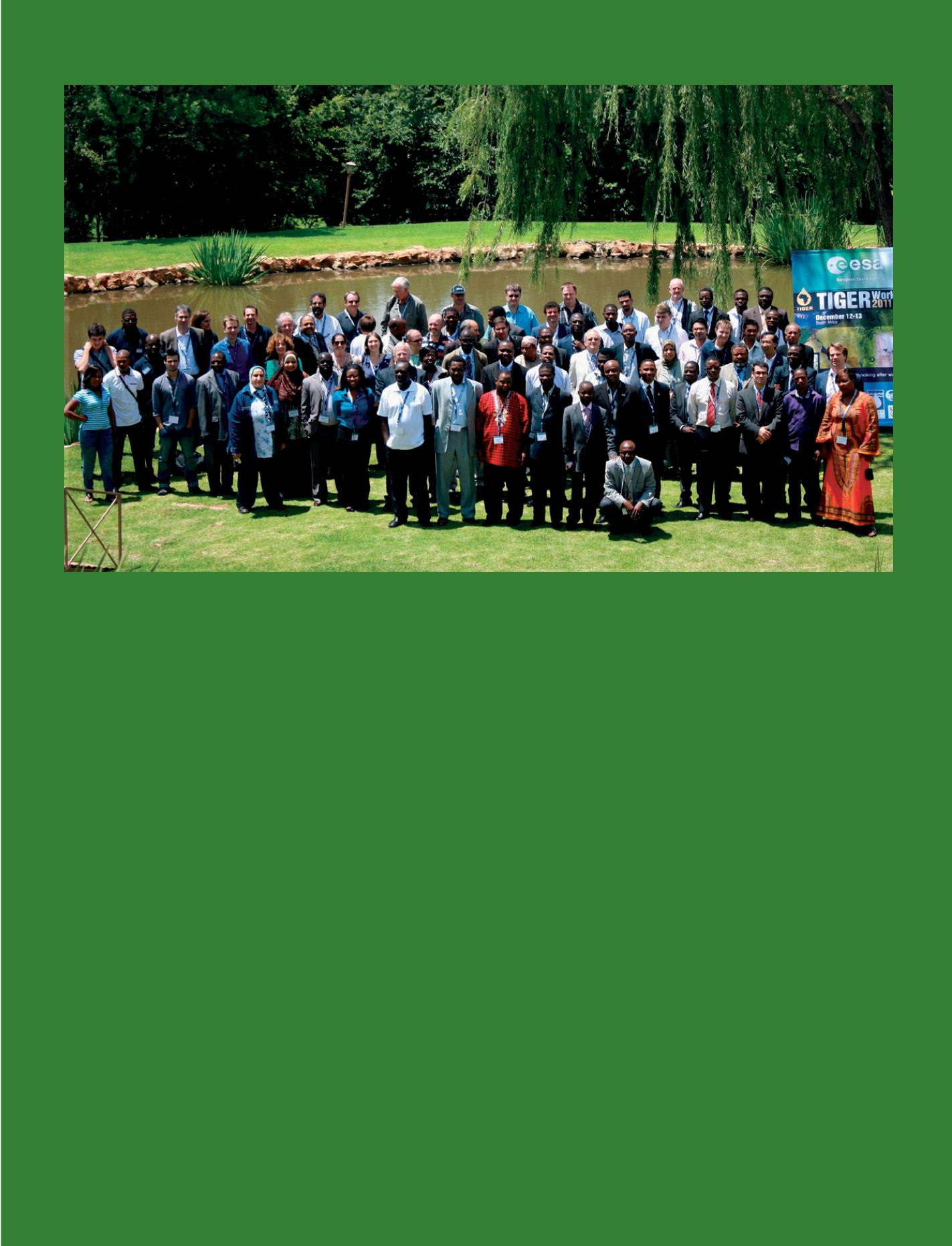
TIGER workshop at Hartbeesthoek, South Africa. With many African countries suffering from a lack of water, ESA’s TIGER initiative has built capacity to map this
precious resource. This new knowledge is making a practical difference and paving the way to sustainable water management practices.
© ESA
for producing, managing and using Earth
observation data and information.
A key objective of AfriGEOSS is to
strengthenthe“infrastructural”capabilities
of Africa, at continental, regional and
national scales. Enhanced capabilities and
networks, toensure functionality across the
continent for collecting Earth observation
data, generating products and services and
sustaining this value chain, are key.
This objective is being pursued by
coordinating existing initiatives, building
on existing capacity, exploiting GEO
networks and infrastructure, and by
leveraging existing and planned assets
and resources. The development and
implementation of a robust participatory
model is an integral part of AfriGEOSS.
Regional coordinators have been identified
and are surveying ongoing initiatives as
the starting point for specific plans of
actions/projects in each region of the
continent. These projects will include both
infrastructural elements, applications
and services and education and training
programs.
Key African actors at the continental scale
are being asked to shape a coordinated
satellite data acquisition strategy for
Africa, together with the network of
data receiving stations, to promote data
democracy and data sharing.
Active participation of African countries
is absolutely key for the success of
AfriGEOSS. In this regard, additional
country engagement beyond the current
21 GEO Member countries in Africa is
needed. The contributions of African
GEO Participating Organizations, such
as the African Association of Remote
Sensing of the Environment (AARSE),
the African Center of Meteorological
Application for Development (ACMAD),
the Environmental Information System
(EIS-Africa) and the UN Economic
Commission for Africa (UNECA), are
also essential from a technological and
coordination perspective.
As we look to the next decade, we are
optimistic that AfriGEOSS will play
a substantial role in advancing the
Sustainable Development agenda by
enhancing Africa’s capabilities for
producing, managing and using Earth
observation data and information.
c
Dr. G. I. Agbaje
Deciding - 117


