ALOS (Advanced Land Observing Satellite)
A JAXA (Japan Aerospace Exploration
Agency) earth observation satellite carrying
three instruments including a PALSAR
radar (Phased Array type L-band Synthetic
Aperture Radar).
AlSat
General name for the earth observation
satellites of the Algerian space agency ASAL.
The first, AlSat-1, was launched in 2002.
Alsat-2A, equipped with a high-resolution
multispectral camera, was launched in 2010.
Alsat-2B is being integrated.
AMESD (African Monitoring Environment
for Sustainable Development)
AMESD is a partnership between the African
Union Commission (AUC) and the European
Union (EU). AUC has been mandated by the
five participating Regional Economic
Communities (RECs): CEMAC, ECOWAS, IGAD,
IOC and SADC and by the ACP Secretariat, to
be in charge of programme implementation.
The AMESD programme (initiated in October
2007) addresses the need for improved
environmental monitoring focused on
sustainable management of natural resources.
ARGOS
An international location and data collecting
systemthat in France is under the responsibility
of the CNES. ARGOS instruments are carried
by low orbit (LEO) satellites such as MetOp,
with continuous service assured since 1978.
Among other things, ARGOS is used for the
location of buoys, vessels and animals and
for collecting environmental data.
COPERNICUS
Copernicus (ex-GMES) will provide accurate,
timely and easily accessible information to
improve management of the environment,
understand and mitigate the effects of
climate change and ensure civil security. It is
headed by the European Commission (EC) in
partnership with the European Space Agency
(ESA) and the European Environment Agency
(EEA).The Sentinel-1 satellites will provide
all-weather, day and night radar imagery for
SPACE MISSIONS AND INSTRUMENTS
land and ocean services.
The Sentinel-3 satellites will provide high-
accuracy optical, radar and altimetry data for
marine and land services.
COSMO-SkyMed
COSMO-SkyMed (COnstellation of small
Satellites for the Mediterranean basin
Observation) is a system of earth observation
satellites set up by the Italian ministries
of Research and Defence under the
management of the Italian Space Agency.
The system is for both civil and military
use and is based on a constellation of four
satellites equipped with a synthetic aperture
radar (SAR) for full coverage of the Earth.
e-GEOS, a joint venture between ASI (20%)
and Telespazio (80%) sells COSMO-SkyMed
data and products around the world.
EgyptSat
General name for the earth observation
satellites of the Egyptian agency National
Authority for Remote Sensing and Space
Sciences (NARSS). EgyptSat-1 was launched
in 2007. It is fitted with two instruments, one
infrared and one multispectral.
ENVISAT (ENVIronmental SAtellite)
An ESA earth observation satellite carrying
the second generation of ERS instruments,
and especially an advanced synthetic aperture
radar operating day and night and in all weather
and with resolution to 30 m (ASAR), an RA-2
microwaves radar altimeter and an imager/
spectrometer operating in the visible and
near-infrared spectra with resolution of 250m
(MERIS). It has been in low orbit since 1999.
ERS (European Remote Sensing Satellite)
An ESA earth observation programme using
low orbit satellites. Two satellites were
launched—ERS1 in 1991 and ERS2 in 1995,
and each carries several instruments and in
particular a synthetic aperture radar (SAR)
and a microwaves altimeter radar.
GPS (Global Positioning System)
A satellite navigation system chosen by the
USA in 1973. Fully operational since 1992,
it consists of 24 orbiting Navstar satellites.
Any user (land vehicle, ship, aircraft or
spacecraft) can obtain an instantaneous
position fix using four of them. Europe is
developing its own system called GALILEO.
IKONOS
An earth observation satellite operated by
the American company GeoEye. The satellite
Ikonos 2 carries an optical instrument with
spatial resolution to less than one metre.
IRIDIUM
Iridium Communications Inc. is the
only mobile voice and data satellite
communications network that spans the
entire globe. Iridium enables connections
between people, organizations and assets
to and from anywhere, in real time.
The company has a major development
programme underway for its next-
generation network—Iridium NEXT.
IRS (Indian Remote Sensing Satellite)
The Indian space agency ISRO’s programme
for the remote sensing of land resources.
The first satellite, IRS-1A, was put into orbit
in 1988. With 10 satellites in orbit, IRS is
the largest constellation of low Earth orbit
observation satellites and provides data with
various spatial resolutions and spectral bands.
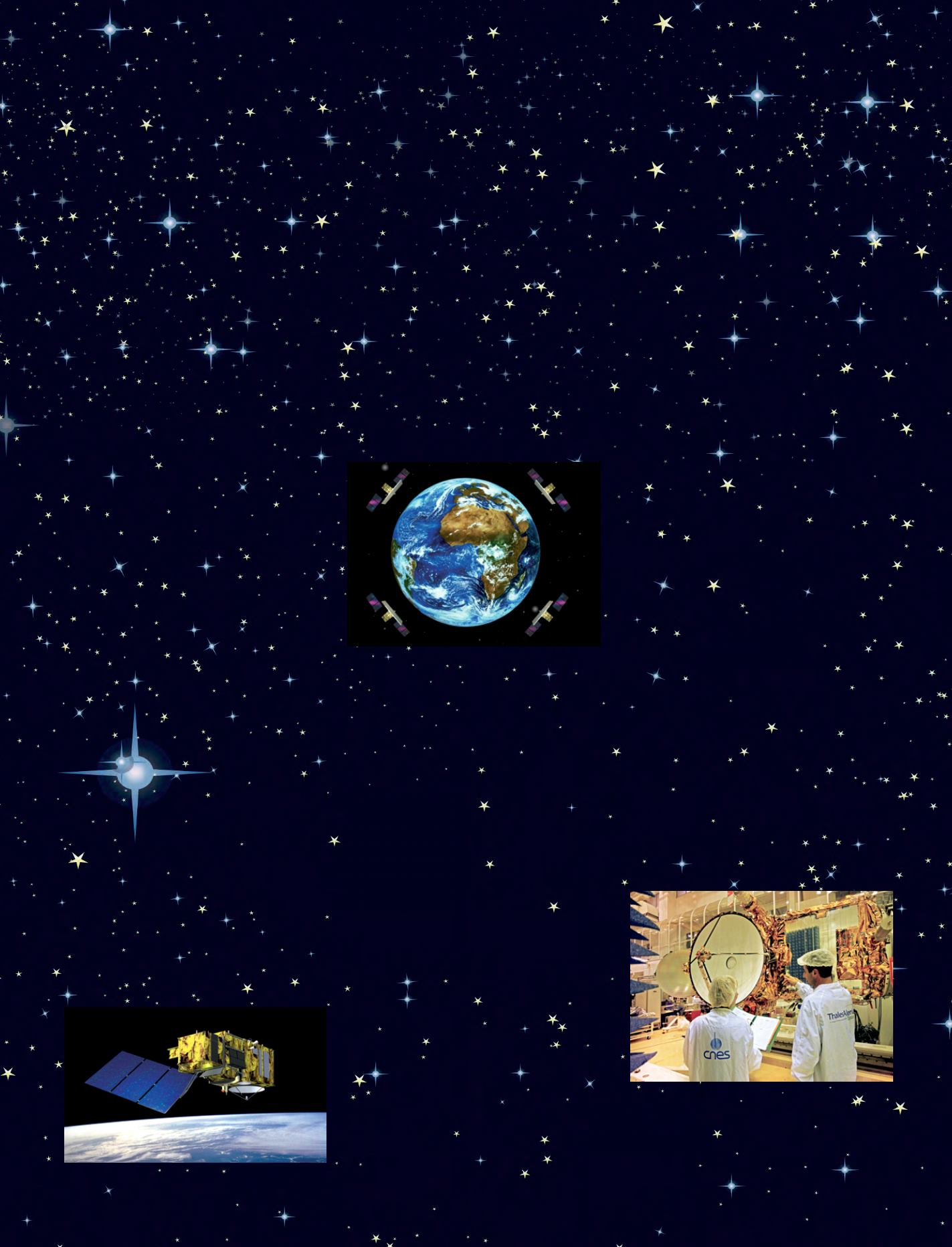
JASON
A spatial oceanographic altimetry
programme that succeeded the experimental
joint CNES/NASA programme, Topex-
Poseidon, launched in 1992. Jason-1 (2001) and
Jason-2 (2008) have the same 1300 km orbit
and supply data for climatic and oceanic study
and observations. Jason-3 should be launched
in 2014. These satellites carry high-precision
microwaves altimeters of the Poseidon family.
LANDSAT
The generic name for US civil satellites
for the observation of land resources and
managed jointly by the NASA and the US
Sentinel 3
© ESA
Jason, Thales Alenia Space
© J.D. Dallet/Suds-Concepts
COSMO-SkyMed
© Telespazio
122 - Sustainable Development in Africa & Satellites


