116 - Sustainable Development in Africa & Satellites
i
This GeoEye-1 image shows a village in Darfur, Sudan.The villages of this region are involved in the clashes between ethnic groups that have been raging there.
International organisations such as the United Nations use high-resolution satellite images to monitor crises and humanitarian emergencies
© GeoEye/Telespazio
Fostering the Use of GEOSS
GEO has demonstrated its suitability as
a framework to develop global initiatives
that improve the contribution of Earth
observation data and information to
societal decision making by addressing
identified user needs and by closing gaps
in coordinated Earth observation data
acquisition and information generation.
In this regard, GEO is making significant
progress towards implementation of
a number of global initiatives such as
the Water Cycle Coordination Initiative
(WCCI), being progressively implemented
at the regional level, Oceans and Society
(the Blue Planet), the GEO Biodiversity
Observing Network (GEO BON), the
GEO Global Forest Observation Initiative
(GFOI), the GEO Global Agricultural
Monitoring (GEOGLAM) initiative, the
Global Mercury Observation System
(GMOS) and the Global Carbon Observing
System (GeoCarbon). Each of these
initiatives has been developed under the
GEO framework by a group of international
experts who have identified gaps and
existing capabilities which can be better
leveraged to address those gaps.
Looking forward
GEO is nearing the end of its initial
implementation phase 2005-2015, and
an essential component of GEO action.
Acting at the national and regional level:
the AfriGEOSS initiative, begun in 2012, is
the first example of a coordinated action
at the regional (continental) level. We look
forward to full implementation of this
initiative for the benefit of Africa and its
countries.
c
Dr. Ganiyu I. Agbaje
Directeur, MissionPlanning&Data
Management
National SpaceResearch&Development
Agency Abuja, Nigeria
preparations are ongoing for the definition
of objectives and activities for a second
implementation, through 2025. Building on
the compatibility of respective timelines,
GEO will support the global agenda post-
2015 and the Sustainable Development
Goals process, which implies global
coordination with implementation starting
at the national level. This will ensure that
GEOSS delivers data and information
in accordance with internationally
recognized priorities, and for the benefit of
all Nations. Capacity building will remain
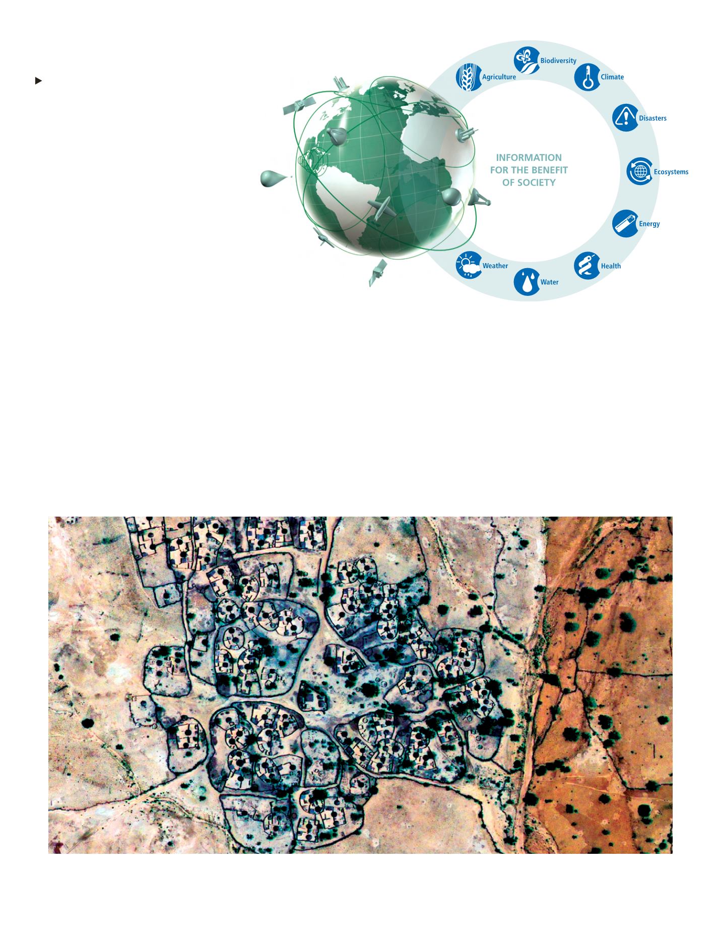
GEOSS will provide
decision-support tools to
a wide range of users.
© GEO


