Deserts and crop fields
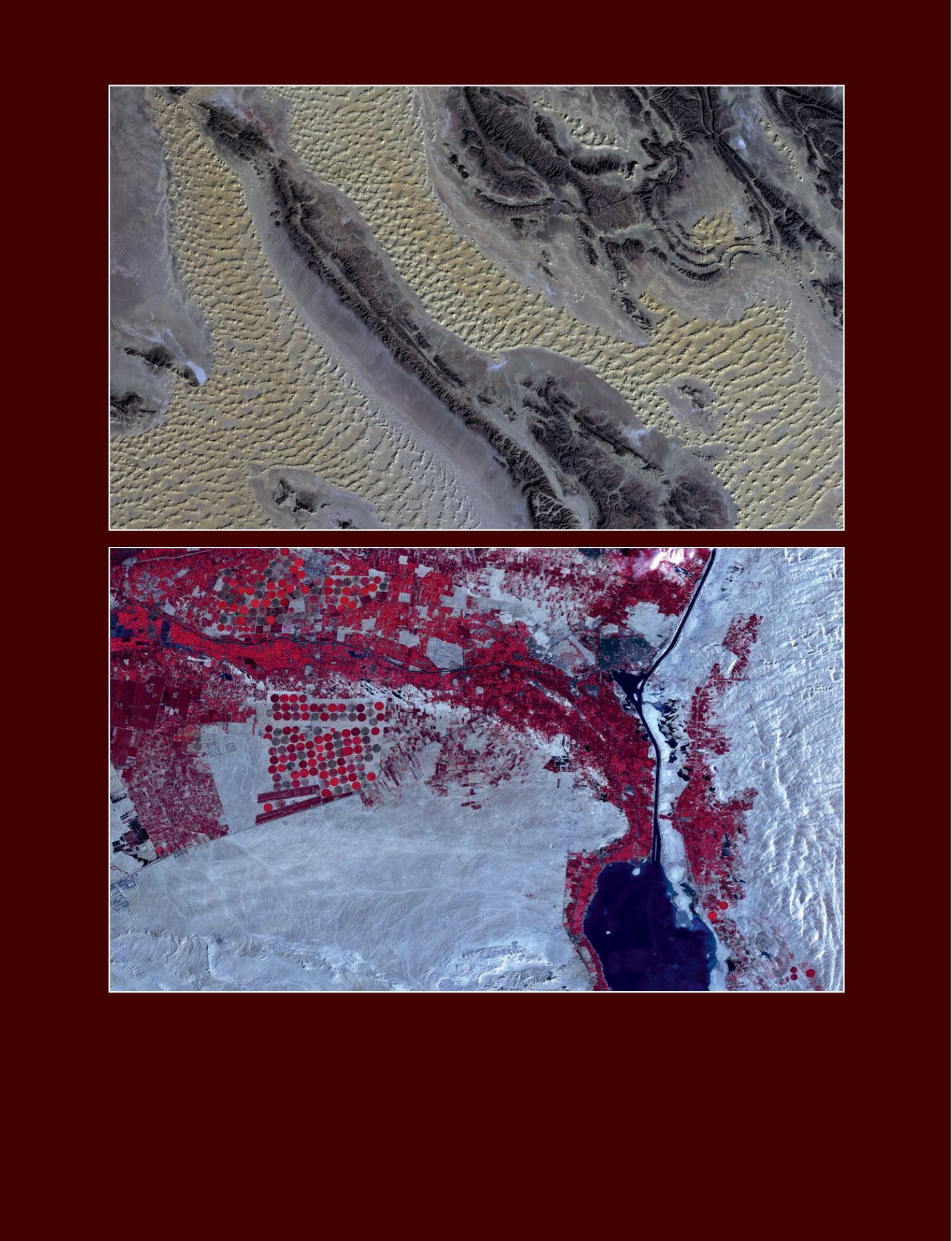
Top image: part of Erg Iguidi desert, Algeria. These sand dunes in the Sahara between Algeria and Mauritania are formed by the prevailing
winds. Average elevation is of 496 meter above sea level. AlSat-1 satellite image.
© 2009, CNTS, all rights reserved, supplied by DMCii
Bottom image: Ismailia Governorate, Egypt. In red, the irrigated crop fields. The most important crops are clover, maize, sesame and wheat.
Bottom right, the Great Bitter Lake. Fish catch in this region amounts to 82% of the total figure for the country. From left to right, the cities of
Qussasin, Mahsama, Abu Suwerr and Ismailia (on the west bank of the Suez Canal). Nigeriasat-1 satellite image.
© 2011 NASRDA, all rights reserved, supplied by DMCii
34 - Sustainable Development in Africa & Satellites


