i
Fish is a traditional and important component of the Egyptian diet, and is the main source of cheap animal protein for a growing population. Here at Luxor West Bank.
© J.D. Dallet/Suds-Concepts
standard pH, turbidity, luminescent
dissolved oxygen, chlorophyll, total dissolved
solids, temperature and water level and
an associated field sampling program,
while satellite observations include MERIS
(primarydatasource) andMODIS (secondary
data source) imagery. The earth observation
data are acquired concurrently with field
observations with support of ESA.
The project improved the existing lake
water monitoring service by allowing the
generation of quantitative water quality
products (TUR – Turbidity –, TDS – Total
Dissolved Salts, and CHL – Chlorophyll-a).
In addition, the frequency of coverage
maximized by using each available image
acquired over the area of interest (for water
constituent products only). In addition to
obtaining accurate information about the
spatial variation of critical water quality
parameters in the lake, the continuous
measurements of RTWQ stations in Lake
Manzalah provided important information
forwater resourcesmanagers at a very high
temporal resolution. RTWQ measurements
weremuchmoreefficient thanconventional
in-situ measurements, while EO-derived
products added the spatial dimension,
which cannot be realized by other means.
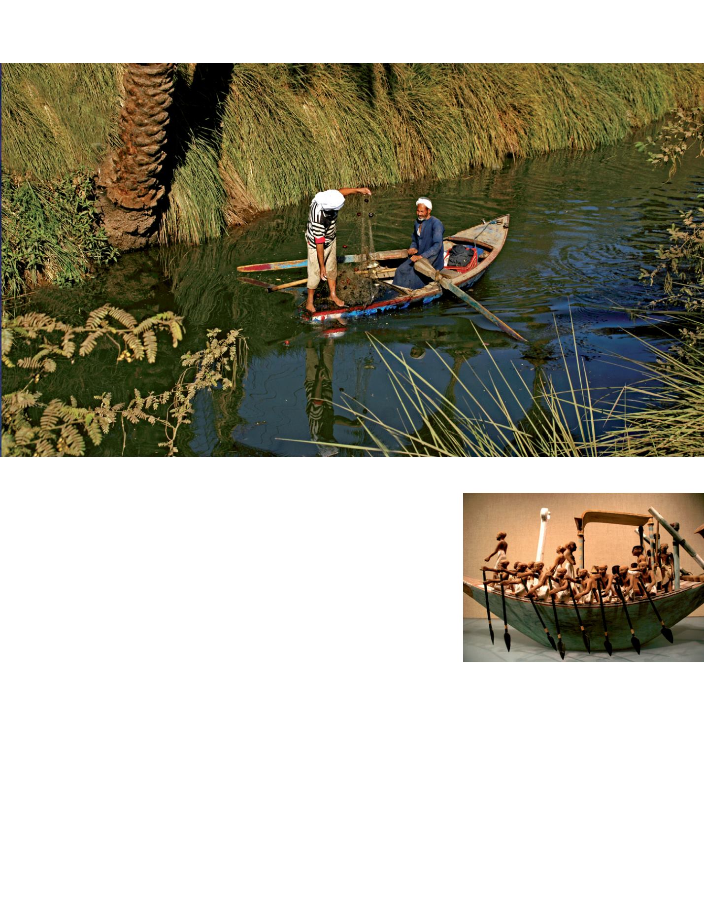
i
Paddling funeral boat, tomb of pharao Meketre,
western Thebes.
© R. Clavaud/Suds-Concepts
Water - 51
Finally, by establishing relationships
between EO signatures and the primary
water quality parameters already
mentioned, the potential exist to extend
this capacity to secondary parameters
like nutrients and Dissolved Oxygen
that cannot be observed directly via EO,
but that could be mapped via existing
relationships with primary parameters.
People need information
As people who live in the islands around the
lake (50000 inhabitants) need information
about fishing and cultivation of the land,
the project provided the water quality data
to them directly to use. ‘The MERIS images
give us a picture of the whole area. Without
this, we only have information on the water
outlets’, Official said, adding: ‘If we stop
the project here, then this would only be
considered research work’.
So, to implement operationally, the project
worked to keep all who could potentially
benefit informed of results and data
available. AMemorandumof Understanding
was signed to monthly sharing the data
between the National Water Research
Center, the project host, and the Fishery
Development Authority to disseminate the
available data and exchange views about the
actions needed. ‘The system maintenance
and continual improvement is representing
the future challenge for the project staff’,
project coordinator stated.
c
Pr Akram Mohamed Elganzori
Director Strategic Research Unit National
Water Research Center Ministry of Water
Resources and Irrigation
Cairo, Egypt


