Soils - 57
i
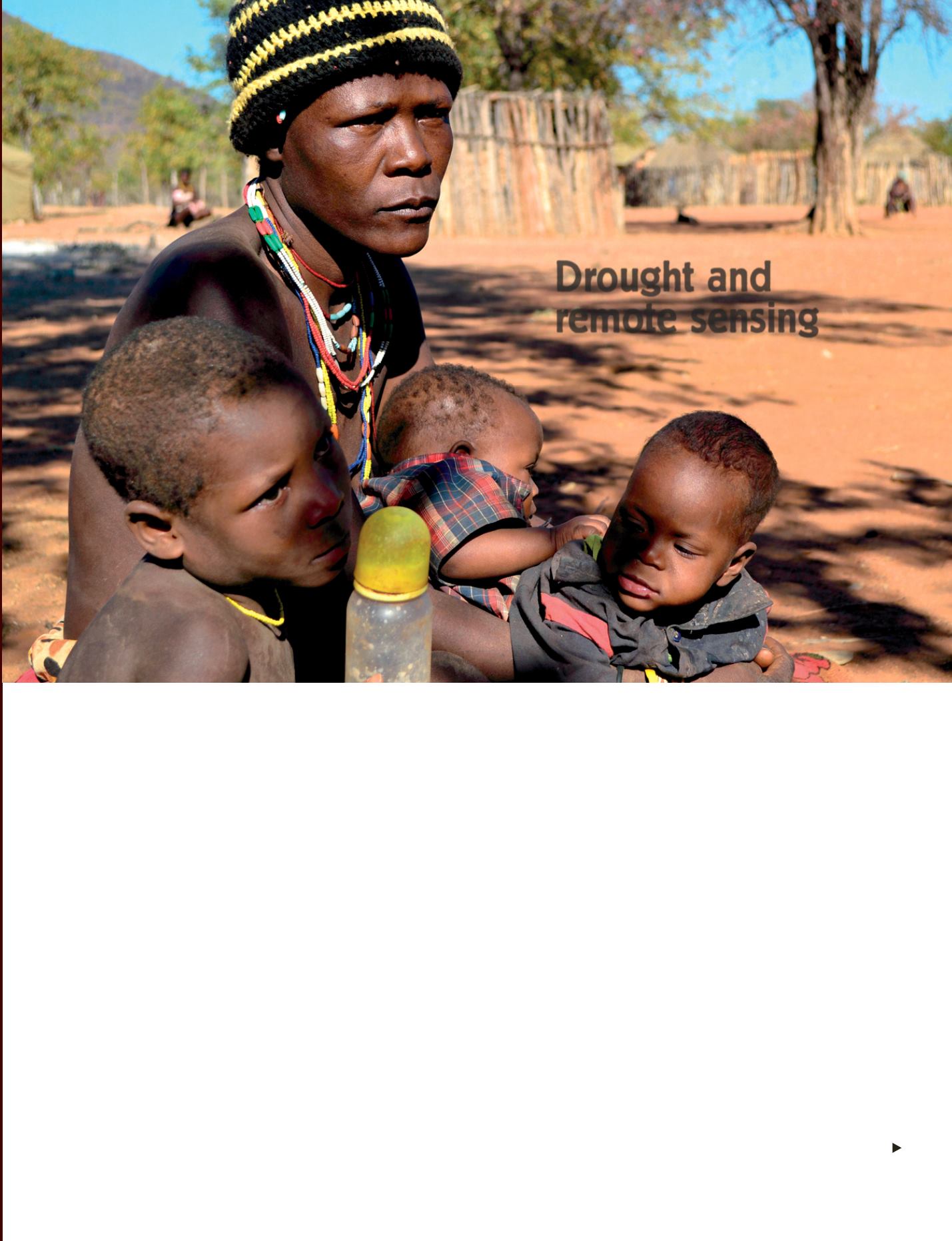
July 2013: A family waits outside a Red Cross food distribution point in Kunene Province, northern Namibia. An estimated 780 000 people – approximately one
third of Namibia’s entire population – are now classified as food insecure. Of these, 330 000 people are in need of urgent support according to the Government.
© IFAD/Susan Beccio
R
ecurrent drought during the last
30 years has had a disastrous
effect on an already very difficult
economic and social situation. The
determining and early locating of these
anomalies make it possible to set
up mitigating measures. As regards
ecology, Senegal is part of the Sahel
zone where most of the population has
economic dependence on crop farming
and livestock. However, rainfall in this
zone displays considerable variability
in space and time and this can penalise
crops and grazing.
The
Centre de Suivi Écologique
(CSE,
Ecological Monitoring Centre) in Dakar
has set up a system based on the use of
modern technologies such as remote
sensing and geographic information
systems to identify the location of the
zones affected by drought. From the
beginning of May to the end of October,
a multidisciplinary working group with
participation of the CSE meets every
10 days and relays information in the
form of illustrated bulletins to decision
makers, ministries and farmers’
organisations. Previously sent by post,
they are now distributed by e-mail.
Analysing and monitoring
The system is hinged on the following
components:
•analysis of the crop installation phase
(millet, groundnut) using a model
based on rainfall estimation images
calculated using Meteosat data (May
to August). This is one of the periods
most susceptible to drought. Farmers
often wonder whether their first
sowings have any chance of success.
They are provided with forecasts by
zone. If the forecasts are poor, sowing
will have to be repeated and we can
then suggest alternatives with suitable
seed varieties;
•analysis of the precipitations evolution
(data provided by the
Agence Nationale
de la Météorologie
of Senegal) to
determine rainfall deficits and
surpluses and to assess the impact
on crops and grazing land (May to
October);
• vegetation growth monitoring (May
to October), based on the Vegetation
Conditions Index (VCI) calculated from
SPOT VEGETATION data obtained
thanks to a partnership between CSE
and VITO (figure next page). This makes
it possible to measure and identify the
zones in which the vegetation and
hence crops display signs of stress;
•analysis of the grazing conditions
around the main water points in the
pastoral zone of Senegal using satellite
images and ground measurement
operations to determine pasture
production and to guide flock and herd
movements (August to December).
Drought and
remote sensing


