The Global Drought Information
System
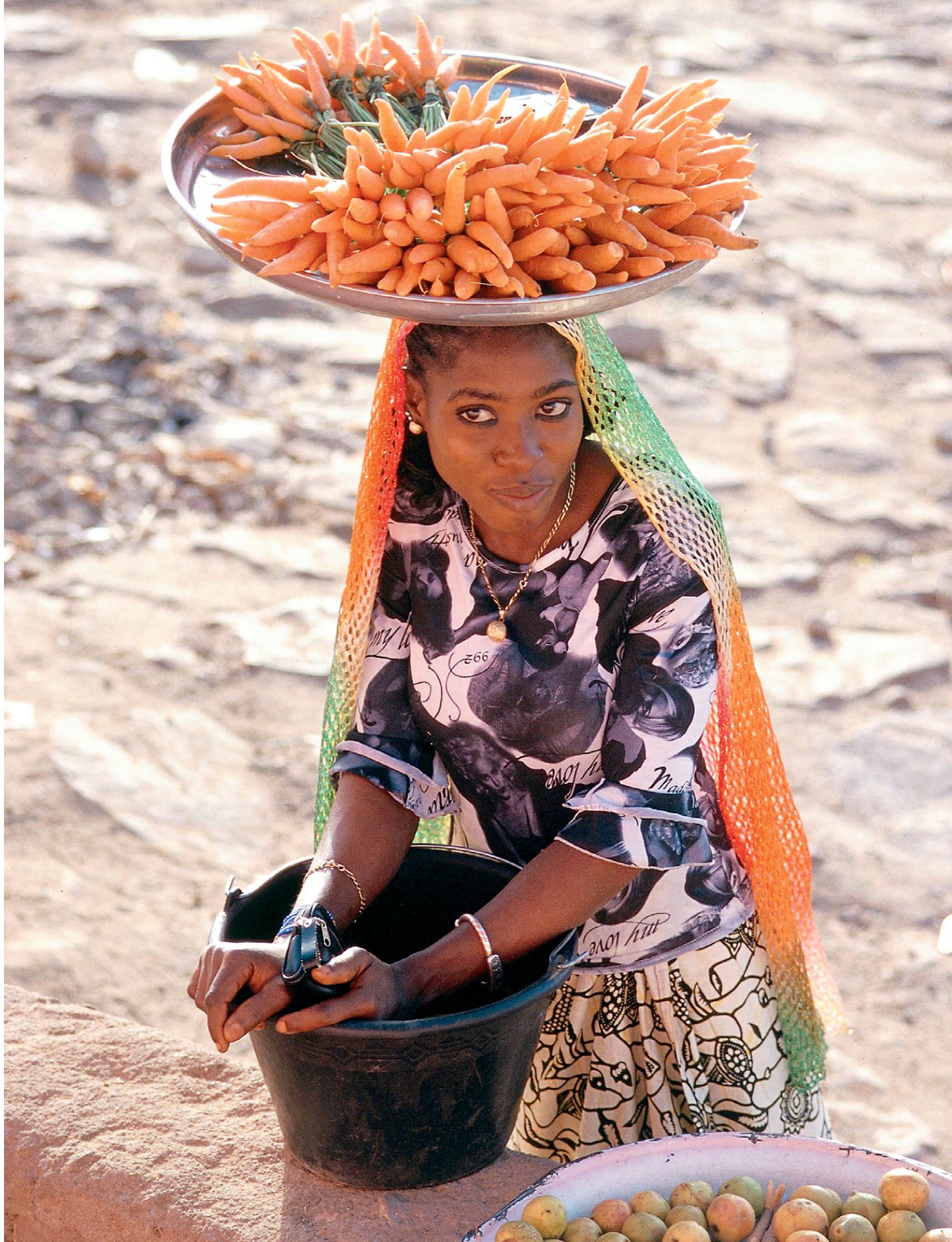
This villager’s vegetable crop at
Mopti (Mali) depends on the amount
of water in the river Bani. Drought
is an insidious natural hazard with
far-reaching impacts that range from
economic losses to loss of agriculture
and livelihood. The Global Drought
Information System (GDIS) is being
developed within the GEO framework
and, through the GEO web Portal,
will support monitoring at multiple
temporal and geographical scales –
global, continental, regional or local.
© Céline Villalard 2003
Soils - 59


